Hiking & Sightseeing: Over the River
| |||

| |||
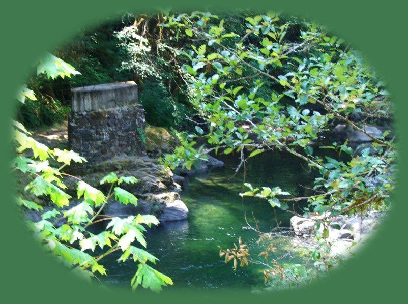
Travel Oregon ...Remnants of the past on the South Santiam on the Over the River and through the Woods Scenic Byway in the Cascade Mountains of Oregon. The Old Santiam RoadThe Santiam Wagon Road was once called Wiley Pass, named after Andrew Wiley who, along with other pioneers from the Willamette Valley, explored the land with the idea of building a road to move their cattle into central Oregon for summer grazing. In 1864 the Willamette Valley and Cascade Mountain Military Road Wagon company was formed with the intent to build a road from the Willamette Valley as far east as the mouth of the Malheur River. The land grant of 1866 included 861,512 acres for this road. The road was never completed and most of the land reverted to the state. However, in 1868 a wagon road was completed from the Willamette Valley to near Sisters. It was a toll road, known as the Santiam Wagon Road. Parts of the Old Santiam Wagon Road still exist yet today. The Santiam Wagon Road parallels the Santiam Pass and can be accessed in several places along the Over the River and through the Woods Scenic Byway. Last I checked, the road was being developed for multiple users including hiking, mountain biking, horseback riding and drivers of vintage vehicles including wagons. Perhaps you might want to contact someone at the Willamette National Forest to ask how far the plans have proceeded if you'd like to try something a little more unconventional than hiking. For hikers, the wagon road provides the unique opportunity of an historic "hiking trail". It can be accessed at each of several hiking trails: House Rock Hiking Trail, Sevenmile Hiking Trail, Snow Creek Hiking Trail, Hackleman Hiking Trail and Fish Lake Hiking Trail. It can also be accessed off the highway at Forest Service Road 2000 245, otherwise known as Burnside Road), as well as Lost Prarie Picnic Area, 38 miles east of Sweet Home, Oregon, off the Over the River and through the Woods Scenic Byway, Hwy 20. Hiking Trails accessible from the Over the River and through the Woods Scenic Byway. Protect our National Forests and Wilderness Areas. Leave NO Trace. Check with the US Forest Service on fires danger, roads and other conditions in the forest before setting out on your journey. Other Hiking Trails accessible on the Over the River and through the Woods Scenic Byway if you care to check them out. The South Santiam Travel Corridor in the Willamette National Forest of Oregon: USFS. The South Santiam River in Spring, Waiting for the Thunder Showers to Arrive | |||
|
|
Forward ~ A selection of hiking trails accessed from the Over the River and through the Woods Scenic Byway. Back ~ Travel Directions to the Over the River and through the Woods Scenic Byway in the Cascade Mountains of Oregon USFS: The Willamette National Forest in Oregon. Travel Oregon and enjoy spectacular sightseeing, as well as, Campgrounds and Hiking Trails in the Willamette National Forest: on the Over the River and through the Woods Scenic Byway: Directions to and Descriptions of hiking Trails in Oregon on the south Santiam River and Campgrounds in Oregon on the south Santiam River. | ||
|
Travel Oregon and northern California while staying at Gathering Light ... a retreat | |||

|
Travel on the West Cascades National Scenic Byway to the retreat: Travel Directions, Map & Scenery & the Willamette Pass, Hwy 58: Travel Directions, Map & Scenery. Over the River & through the Woods Scenic Byway: Sites. Travel Directions to & Day Trips of about 100 miles from the retreat. Travel Oregon sightseeing; find Scenic Places near Crater Lake & the retreat: hiking with or without trails, wildlife viewing, wetlands, wildlife refuges, river gorges, mountains, wilderness areas & more: Travel Directions Map & Scenery. Website Directory for the travel pages
Home Page | ||
|
Contact Brad at Gathering Light ... a retreat. | |||