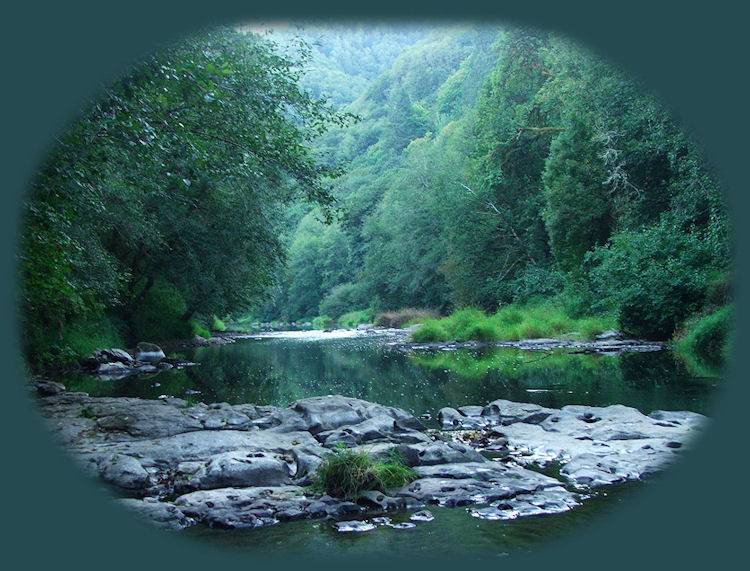
The south fork of the Alsea River
| |
| |
|
Missouri Bend Wayside Alsea waterfalls are quite likely the main attraction on the back country byway. At the same time, the area at the waterfalls offers a campground of 16 sites, a hiking trail down to the waterfalls and along the river for a short distance, as well as picnic tables and rings at each campsite. Running water and restrooms are also available. People play in the water at the base of the waterfalls during the warmer months. Fishing for coho salmon, Chinook salmon, cutthroat trout and steelhead is a possibility. Wildlife viewing of deer and elk as well, and black bears and bobcats are sometimes seen too. | |
|
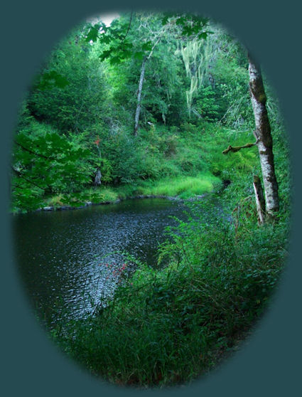
Find the Alsea Back Country Byway: Directions. Forward ~ Seasonal creek photographed while following the Siuslaw River to the Oregon Coast. Back ~ Alsea Waterfalls on the south fork of the Alsea River on the Alsea Back Country Byway. Scenery en route to and on the Oregon Coast. Directions when traveling south from Waldport, Oregon; when traveling north from Waldport. Want to hike? Hiking, Mountain Biking, and Equestrian Trails on the Oregon Coast. Explore the road less traveled: Leisurely routes to the Oregon coast meandering along streambeds and river canyons. Salmonberry Wayside (pictured to the right) on the south fork of the Alsea River, found on the way to the Oregon Coast. |
|
|
Travel Oregon and northern California while staying at Gathering Light ... a retreat | |
|
Travel the Rogue Umpqua Scenic Byway to the retreat from the coast: Follow the Umpqua River on Oregon Hwy 38 from Reedsport to Sutherlin. From there head south on I - 5 10 miles to Roseburg. Find the Rogue Umpqua Scenic Byway: Directions, Map & Scenery. Travel Directions to & Day Trips in either Oregon or California of about 100 miles from the retreat. Little known Scenic Places near Crater Lake National Park & the retreat: Directions, Map & Scenery. Website Directory for the travel pages Home Page |
|
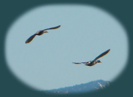
Contact Brad at Gathering Light Mallards in flight at Wood River Wetlands (pictured above), one of the many birding trails in Klamath Basin, a mere 10 miles from Gathering Light ... a retreat, rustic simplicity, a place to "Just Be", surrounded by the Fremont Winema National Forest of southern Oregon, not far from Crater Lake National Park. | |